In a post about Durmitor and Bobotov Kuk, I mentioned the Prokletije mountain range. The Montenegrin National Park Prokletije is often compared in beauty with the Alps – impregnable cliffs break into deep green valleys with clear rivers.
There is a legend about Prokletije. In a village at the foot of a mountain range lived a girl. Two brothers fell in love with her. But the girl did not want to choose. She challenged the brothers: Whoever goes to the mountains and conquers the highest point will become a husband. Both men crashed on impregnable rocks. Their mother cursed the girl and the mountains that killed her boys. Since then, these mountains have been called “Prokletije” (Accursed Mountains). Since 2008, Prokletije has been a National Park.
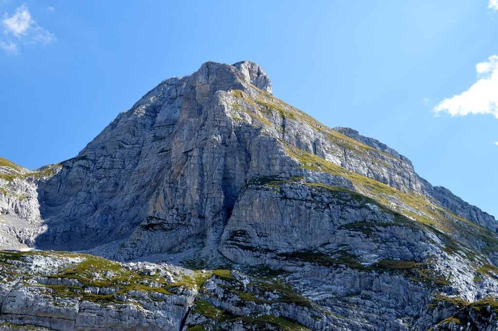
The northern face of Zla Kolata
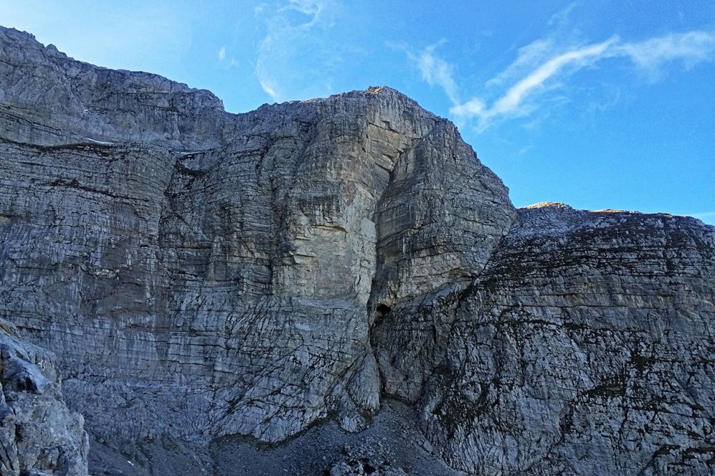
The highest point of the massif on the territory of Montenegro is Zla Kolata (2.534 m). The name translates as “Bad” Kolata. Just 100 meters away is the second peak – “Good” Kolata (Dobra Kolata). The way up is not easy and requires good physical fitness, but the reward will be a stunning view of the surrounding mountains and valleys of two countries at once – Montenegro and Albania.
Aerial view in winter - Zla Kolata top left
The Kolata is a heavily karstified area. From the highest point, a rather flat ridge, which drops steeply especially on the north side, leads northwest down to a saddle from where the peaks of Zla Kolata and Dobra Kolata rise steeply. To the north, the summit of Zla Kolata drops down into rock faces. The ridges from the summit to the northwest and to the northeast form the watershed and boundary between the countries Montenegro and Albania. The south-southwest ridge later falls steeply into the Valbona Valley. The summit region is covered with snow until early summer.
P.S. The start of the hiking route to Zla Kolata is part of the so called “Peaks of the Balkans” trail. We offer a tour which goes along this trail as well. 🙂
Discover more from Montenegro Hiking
Subscribe now to keep reading and get access to the full archive.